MN Weather: Cloudy Labor Day with Evening Storms Looming
Minnesota faces cloudy Labor Day conditions with highs near 80°F and muggy air before overnight thunderstorms hit western counties late Monday.

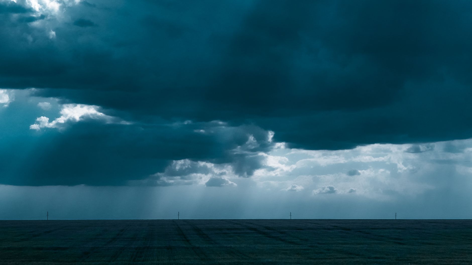
On Monday, September 7, 2026, Minnesotans celebrating Labor Day and attending the final day of the Minnesota State Fair faced warm, muggy conditions with temperatures climbing into the low 80s. Meteorologists warned that a cold front approaching from the west will bring scattered severe thunderstorms late Monday night across western Minnesota, stretching overnight into Tuesday morning.
Labor Day Forecast Brings Muggy Heat and Strong Wind Gusts
Twin Cities residents and holiday fairgoers experienced southerly wind gusts reaching up to 30 mph throughout the afternoon, pushing dew points into the sticky mid-60s. While daytime conditions remained predominantly dry for outdoor activities, high atmospheric moisture set the stage for an active evening transition.
“Much of the day will be dry, but scattered storms become more widespread late this evening and overnight as a cold front moves through.”
— National Weather Service, Twin Cities/Chanhassen
Severe Storm Timing and Regional Impacts for Western Counties
According to reporting from WCCO-CBS meteorologist Joseph Dames, isolated thunderstorms will begin developing in western Minnesota after 10 p.m. NOAA’s Storm Prediction Center placed western Minnesota under a Level 1 Marginal Risk for severe weather, with localized wind gusts reaching 50 to 70 mph and hail up to 1.5 inches in diameter. High-density storm chances are targeted for Otter Tail and Cass counties, where overnight precipitation probabilities climb up to 75%.
Post-Frontal Outlook: Mid-Week Temperature Drop Ahead
As the surface front advances into western Wisconsin by Tuesday morning, rainfall totals approaching an inch are expected across the metro area. FOX9 meteorologist Jonathan Yuhas highlighted that following early Tuesday showers, cooler northwest air will push into the region, dropping Wednesday high temperatures into the crisp low-to-mid 60s.
- Labor Day Highs: Peak temperatures reached the low 80s with southeast wind gusts up to 30 mph.
- Evening Storm Risk: Western Minnesota faces isolated severe storms post-10 p.m. with 50-70 mph wind threats.
- Cooler Mid-Week Transition: Temperatures drop into the mid-60s by Wednesday behind the departing cold front.
Travelers returning from holiday destinations late Monday night are advised to exercise caution along western transit corridors as reduced visibility and spotty heavy downpours develop.
Did the late-night Labor Day storm forecast change your holiday travel plans?
Frequently Asked Questions
Essential facts and core questions addressed by official sources and investigative reporting.
Senior Editorial Contributor at Devyy Media covering breaking global trends and verified journalism.
Community Discussion
Share your insights, thoughts, and feedback with the author and community.